Table of Contents
What Is Physical Geography?
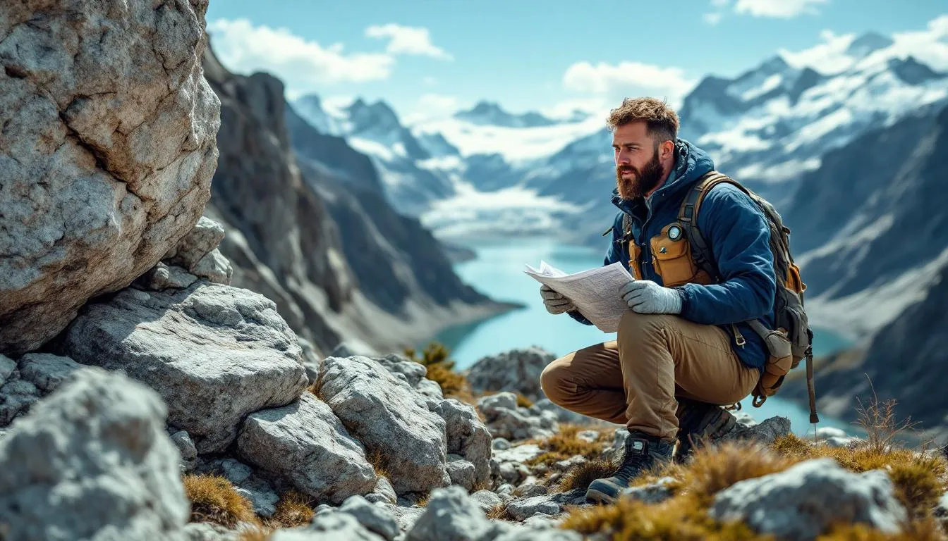
Physical geography is the branch of geography that studies Earth’s natural environment --- its landforms, atmosphere, water, soils, plants, and the processes that shape them. It’s the science of why the world looks the way it does: why mountains rise where they do, why deserts form, why rivers meander, why climates differ from place to place, and how all of these systems interact.
If you’ve ever looked at a field and wondered how it got that way, you’ve been thinking like a physical geographer.
The Scope of the Science
Physical geography is strikingly broad. It covers everything from the movement of tectonic plates to the migration patterns of caribou, from the chemistry of soil to the behavior of hurricanes. What ties it all together is a focus on spatial patterns --- where things are and why they’re there --- and on the interactions between Earth’s physical systems.
This breadth distinguishes physical geography from more specialized earth sciences. Geology focuses on rocks and the deep Earth. Climatology studies climate. Ecology examines organisms and their environments. Physical geography integrates all of these, asking how they fit together at Earth’s surface.
Alexander von Humboldt, often called the father of modern physical geography, embodied this approach in the early 1800s. He traveled through South America measuring everything --- temperature, atmospheric pressure, magnetic fields, vegetation patterns, rock types --- and produced the first systematic descriptions of how elevation, latitude, and climate interact to create distinct environmental zones. His insight that nature operates as an interconnected system, not a collection of separate parts, remains the field’s defining idea.
The Lithosphere: Shaping the Land
The lithosphere --- Earth’s rocky outer shell --- provides the foundation for every field. Physical geographers study how geological processes create, modify, and destroy landforms.
Plate Tectonics
Earth’s surface is broken into about 15 major tectonic plates that float on the semi-fluid asthenosphere below. These plates move at speeds of 1-10 centimeters per year --- roughly the rate your fingernails grow --- but over millions of years, that slow movement creates and destroys entire mountain ranges, opens and closes oceans, and reshapes continents.
Where plates collide, you get mountains. The Himalayas are still growing (about 5 millimeters per year) as the Indian plate pushes into the Eurasian plate. The Andes formed where the oceanic Nazca plate dives beneath South America. Where plates pull apart, you get rift valleys (East Africa) and mid-ocean ridges (the Mid-Atlantic Ridge, the longest mountain chain on Earth at 65,000 kilometers).
The Ring of Fire --- a horseshoe-shaped zone around the Pacific Ocean --- accounts for about 75% of the world’s active volcanoes and 90% of earthquakes. This isn’t a coincidence. It’s where multiple tectonic plates converge, creating enormous geological energy.
Weathering and Erosion
Plate tectonics builds landforms. Weathering and erosion tear them down.
Physical (mechanical) weathering breaks rock without changing its chemistry. Freeze-thaw cycles crack rocks when water freezes in joints and expands by about 9%. Root growth wedges rocks apart. Temperature changes cause expansion and contraction that eventually fractures stone.
Chemical weathering dissolves or transforms minerals. Carbonic acid (formed when CO2 dissolves in rainwater) slowly dissolves limestone, creating karst landscapes --- sinkholes, caves, and disappearing rivers. The Tower of Babel-like karst towers of Guilin, China, are chemical weathering’s most spectacular display.
Erosion transports weathered material. Rivers carry sediment (the Mississippi delivers 200 million tons per year to the Gulf of Mexico). Glaciers grind valleys into U-shapes. Wind sculpts sand dunes and erodes desert rock into arches and hoodoos. Waves reshape coastlines continuously.
The interplay between tectonic uplift and erosion determines field character. In tectonically active regions (young mountains), uplift outpaces erosion, creating dramatic peaks. In stable regions (old mountains like the Appalachians), erosion has had hundreds of millions of years to grind peaks down to rolling hills.
Geomorphology
Geomorphology is the subdiscipline that studies landforms and the processes that create them. Physical geographers working in geomorphology map and classify terrain, date field features, and model how landforms will evolve.
Fluvial geomorphology studies river systems --- how rivers erode, transport, and deposit sediment, creating meanders, floodplains, deltas, and canyons. The Grand Canyon tells a 2-billion-year geological story carved by the Colorado River over about 5-6 million years.
Glacial geomorphology examines landscapes shaped by ice. During the last Ice Age (peaking about 26,500 years ago), ice sheets up to 3 kilometers thick covered most of Canada and northern Europe. They carved the Great Lakes, sculpted Norway’s fjords, deposited the hills of Long Island and Cape Cod, and left scratches on bedrock that geologists can still read like a map.
Aeolian (wind) geomorphology studies deserts and coastal dunes. The Sahara alone contains roughly 28% of Earth’s desert area, and its sand seas (ergs) display every type of dune formation that wind can create.
The Atmosphere: Climate and Weather
Physical geography’s atmospheric focus overlaps with climatology and meteorology but emphasizes spatial patterns --- why climate differs from place to place.
Climate Controls
Several factors determine a location’s climate:
Latitude is the primary control. The tropics receive more solar radiation per square meter because the sun sits higher in the sky. The poles receive oblique sunlight spread over larger areas. This gradient drives global atmospheric and oceanic circulation.
Altitude matters enormously. Temperature drops about 6.5 degrees Celsius per 1,000 meters of elevation. That’s why Quito, Ecuador, sitting almost on the equator but at 2,850 meters, has a mild climate rather than tropical heat. Mount Kilimanjaro, at 3 degrees south latitude, has glaciers at its summit (though they’re disappearing rapidly).
Ocean currents redistribute heat. The Gulf Stream carries warm water from the tropics to northwestern Europe, which is why London at 51 degrees N has milder winters than Montreal at 45 degrees N. Conversely, the cold Benguela Current keeps the Namib Desert along southwestern Africa remarkably cool for its latitude.
Continentality describes the effect of distance from oceans. Water heats and cools slowly, moderating coastal climates. Interior continental locations experience extreme temperature ranges --- Yakutsk, Siberia, sees winter lows of -40 degrees C and summer highs of +30 degrees C, a range of 70 degrees.
Rain shadow effects create deserts on the leeward sides of mountain ranges. Moist air rises over mountains, cools, and dumps its moisture as precipitation on the windward side. The air descending the other side is dry. This is why the eastern side of the Cascades in Washington State receives barely 20 cm of rain per year while the western side gets 250+ cm.
Climate Classification
The most widely used climate classification system, developed by Wladimir Koppen in 1884 and refined since, divides Earth’s climates into five major groups: tropical (A), arid (B), temperate (C), continental (D), and polar (E). Each group has subgroups based on precipitation patterns and temperature seasonality.
This system, while imperfect, provides a remarkably useful framework for understanding vegetation patterns, agricultural potential, and ecological zones. A Koppen climate map is essentially a map of what can grow where.
The Hydrosphere: Water Everywhere
Water is the most active agent shaping Earth’s surface, and physical geography studies it in all its forms.
The Water Cycle
Every year, the sun evaporates roughly 500,000 cubic kilometers of water from ocean surfaces. This water vapor rises, cools, condenses into clouds, and returns to Earth as precipitation. On land, it flows through rivers and groundwater systems, eventually returning to the oceans. This cycle drives erosion, sustains ecosystems, and makes life on land possible.
The numbers involved are staggering. The Amazon River discharges 209,000 cubic meters per second --- roughly 20% of all river water entering the world’s oceans. The Ogallala Aquifer beneath the US Great Plains holds about 3,000 cubic kilometers of water, accumulated over millions of years, and is being depleted far faster than it recharges.
Rivers and Drainage Basins
Physical geographers study rivers as systems. A drainage basin (or watershed) is the total area that feeds water into a river. The Amazon basin covers 6.3 million square kilometers --- roughly 40% of South America. The Mississippi-Missouri basin drains 41% of the contiguous United States.
River systems evolve over time. Young rivers in mountainous terrain are steep and fast, carving V-shaped valleys. Mature rivers on gentler gradients develop meanders --- the sinuous curves that form as water erodes the outer bank and deposits sediment on the inner bank. Old rivers on flat terrain create wide floodplains and eventually build deltas where they meet the ocean.
Glaciers and Ice Sheets
About 10% of Earth’s land surface is covered by glacial ice, holding roughly 69% of the world’s fresh water. The Antarctic ice sheet alone contains enough water to raise global sea levels by about 58 meters if it melted entirely.
Glaciers are retreating almost everywhere. Since 1961, glaciers have lost roughly 9.6 trillion metric tons of ice. This loss contributes to sea level rise, reduces water supplies for billions of people who depend on glacial meltwater, and dramatically alters mountain landscapes.
Oceans
The ocean covers 71% of Earth’s surface and regulates global climate by absorbing heat and CO2. Oceanography is its own discipline, but physical geography integrates ocean processes with terrestrial ones --- how sea level changes reshape coastlines, how ocean temperatures drive weather patterns (El Nino and La Nina), and how ocean circulation distributes heat globally.
The Biosphere: Life on Earth
Physical geography includes biogeography --- the study of where organisms live and why.
Biomes
Earth’s terrestrial biomes --- tropical forests, savannas, deserts, temperate forests, grasslands, boreal forests (taiga), and tundra --- are directly determined by climate. Map the biomes, and you’ve essentially mapped climate zones with a biological lens.
Tropical rainforests, covering about 6% of Earth’s land surface, contain roughly 50% of all terrestrial species. Boreal forest (taiga) is the world’s largest terrestrial biome, stretching across Canada, Scandinavia, and Russia. Tundra, the coldest biome, supports life adapted to permafrost, extreme cold, and nearly continuous summer daylight.
Soils
Soil is the interface between rock, air, water, and life --- and physical geographers study it intensively. Soil formation depends on five factors identified by Hans Jenny in 1941: climate, organisms, relief (topography), parent material (rock type), and time.
Different environments produce radically different soils. Tropical soils (oxisols) are often nutrient-poor because heavy rainfall leaches minerals away. Grassland soils (mollisols) are among the world’s most fertile, enriched by thousands of years of grass roots building organic matter. These soil differences explain agricultural productivity patterns around the world.
Ecosystem Services
Physical geographers increasingly quantify the services that natural systems provide to humans: water filtration by wetlands, carbon storage by forests, pollination by insects, flood protection by floodplains. A 1997 study by Robert Costanza estimated the value of global ecosystem services at $33 trillion per year (adjusted for inflation, that’s roughly $54 trillion in 2024 dollars) --- exceeding global GDP at the time.
Physical Geography and Human Challenges
Physical geography isn’t just academic. It directly informs how we deal with some of civilization’s biggest challenges.
Natural Hazards
Physical geographers map flood zones, assess earthquake risk, model volcanic eruptions, and predict landslide potential. This work saves lives. Flood mapping determines where buildings can be constructed. Seismic hazard assessment informs building codes. Volcanic monitoring provides early warnings for evacuations.
The 2004 Indian Ocean tsunami killed over 230,000 people, partly because there was no warning system in place. Physical geographers contributed to the subsequent establishment of the Indian Ocean Tsunami Warning System, which has since provided timely warnings for multiple events.
Climate Change
Climate change is arguably the defining challenge for physical geography in the 21st century. Rising temperatures affect every system the field studies: ice sheets melt (cryosphere), sea levels rise (hydrosphere), weather patterns shift (atmosphere), biomes migrate (biosphere), and erosion patterns change (lithosphere).
The Arctic is warming roughly four times faster than the global average. Permafrost thaw threatens to release billions of tons of stored carbon and methane. Sea level has risen about 21 centimeters since 1900, and the rate is accelerating. Physical geographers document these changes, model their trajectories, and assess their consequences.
Water Resources
About 2 billion people live in countries experiencing water stress. Physical geography’s understanding of hydrology, groundwater systems, and precipitation patterns is essential for managing water resources sustainably. The depletion of the Ogallala Aquifer, the shrinking of the Aral Sea, and the declining flow of the Colorado River are all problems that physical geography helps diagnose and address.
Tools and Methods
Modern physical geography relies on technologies that Alexander von Humboldt couldn’t have imagined.
Remote sensing uses satellites and aircraft to observe Earth from above. Landsat satellites have provided continuous imagery since 1972, creating a 50-year visual record of field change. LiDAR (Light Detection and Ranging) creates detailed 3D terrain models by bouncing laser pulses off the ground --- even through forest canopy.
Geographic Information Systems (GIS) --- the focus of geographic information systems --- allow geographers to layer, analyze, and visualize spatial data. You can combine elevation data, soil maps, rainfall records, land use, and population data in a single analysis.
Numerical modeling simulates physical processes. Climate models, river flow models, glacial movement models, and erosion models all use mathematical equations to predict how systems will behave under different conditions.
Fieldwork remains essential. You can learn a lot from satellites, but understanding a field fully often requires standing on it --- measuring stream flow, sampling soil, coring ice, and observing processes firsthand.
Connections Across Disciplines
Physical geography connects to geology through the study of rocks and landforms, to climatology through atmospheric science, to ecology through biogeography, to hydrology through water systems, and to environmental science through the study of human impacts on natural systems.
If the landforms and geological processes interest you most, geology and geomorphology go deeper. If climate and weather are your draw, climatology and meteorology are the next step. For a focus on life and ecosystems, ecology and conservation biology expand the picture.
A Science of Connections
Physical geography’s greatest strength is integration. While specialized sciences study individual components --- rocks, air, water, life --- physical geography studies how they interact at Earth’s surface. A river isn’t just water; it’s water shaped by climate, geology, vegetation, and soil, carrying sediment from mountains to oceans, supporting ecosystems along its length, and reshaping the field with every flood.
This integrative perspective is exactly what the 21st century demands. Climate change, resource depletion, natural hazards, and biodiversity loss are all problems that cross disciplinary boundaries. Understanding them requires exactly the kind of systems thinking that physical geography has practiced for two centuries.
The world outside your window --- every hill, river, cloud, and forest --- is the subject of physical geography. And understanding how it all fits together is the first step toward understanding what’s changing, why it matters, and what we can do about it.
Frequently Asked Questions
What is the difference between physical and human geography?
Physical geography studies natural features and processes — landforms, climate, water systems, soils, and ecosystems. Human geography studies how people interact with and shape the world — population, culture, economies, and urbanization. The two overlap significantly, especially in environmental geography.
What do physical geographers do for work?
Physical geographers work in environmental consulting, climate research, hazard assessment, urban planning, conservation, government agencies, and academia. They use GIS technology, remote sensing, and fieldwork to study landscapes, predict natural hazards, and assess environmental change.
How does physical geography relate to geology?
Geology focuses specifically on Earth's rocks, minerals, and deep interior processes over very long time scales. Physical geography is broader, studying how geological processes interact with climate, water, soils, and living organisms to create the landscapes and environments we see today.
Why is physical geography important for understanding climate change?
Physical geography studies the interactions between atmosphere, oceans, ice sheets, landforms, and ecosystems that determine climate. Understanding these interconnected systems is essential for predicting how climate change will affect sea levels, weather patterns, water availability, and ecosystems globally.
Further Reading
Cite this article
APA
WhatIs.site. (2026). What Is Physical Geography?. Retrieved May 27, 2026, from https://whatis.site/physical-geography MLA
"What Is Physical Geography?." WhatIs.site, March 6, 2026, https://whatis.site/physical-geography. Accessed May 27, 2026. Chicago
WhatIs.site. "What Is Physical Geography?." Last modified May 12, 2026. https://whatis.site/physical-geography. HTML
<a href="https://whatis.site/physical-geography">What Is Physical Geography?</a> — WhatIs.site Related Articles
What Is Geography?
Geography is the scientific study of places, spaces, and the relationships between people and their environments.
scienceWhat Is Geology?
Geology is the scientific study of Earth — its structure, composition, the physical and chemical processes that shape it.
scienceWhat Is Climatology?
Climatology is the scientific study of climate patterns, causes, and changes over time. Learn how it differs from meteorology and why it matters today.
scienceWhat Is Ecology?
Ecology is the branch of biology that studies the relationships between living organisms and their physical environment, examining how individuals.
scienceWhat Is Earth Science?
Earth science is the broad field of study concerned with the physical makeup and processes of planet Earth—its rocks, water, atmosphere.